2012
SK1874 : Ordnance Survey Cut Mark
taken 12 years ago, near to Wardlow, Derbyshire, England
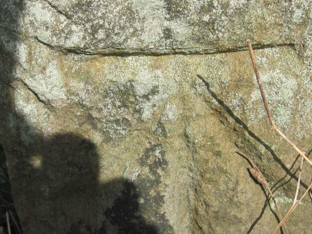
Ordnance Survey Cut Mark
This mark can be found on a gatepost beside the B6465 road near Wardlow.
For more detail see : Link
For more detail see : Link
 Map © Crown Copyright")
TIP: Click the map for more Large scale mapping
- Grid Square
- SK1874, 50 images (more nearby 🔍)
- Photographer
- Peter Wood (more nearby)
- Date Taken
- Wednesday, 18 July, 2012 (more nearby)
- Submitted
- Thursday, 26 July, 2012
- Subject Location
-
OSGB36:
 SK 18420 74123 [1m precision]
WGS84: 53:15.8273N 1:43.5185W