2007
NU0900 : The lane from Healey
taken 17 years ago, near to Pauperhaugh, Northumberland, England
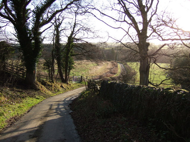
The lane from Healey
The no through lane from the farm reaches the Coquet valley as it approaches the B6344 at Coquet Brae. On the right is the access land shown in NU0900 : Access land below Healey.
 Map © Crown Copyright")
TIP: Click the map for more Large scale mapping
- Grid Square
- NU0900, 22 images (more nearby 🔍)
- Photographer
- Derek Harper (more nearby)
- Date Taken
- Monday, 1 January, 2007 (more nearby)
- Submitted
- Sunday, 7 January, 2007
- Subject Location
-
OSGB36:
 NU 092 001 [100m precision]
WGS84: 55:17.6957N 1:51.3999W - Camera Location
-
OSGB36: NU 0928 0022
- View Direction
- SOUTH (about 180 degrees)