2012
N4970 : Lakill
taken 12 years ago, near to Fore, Co Westmeath, Ireland
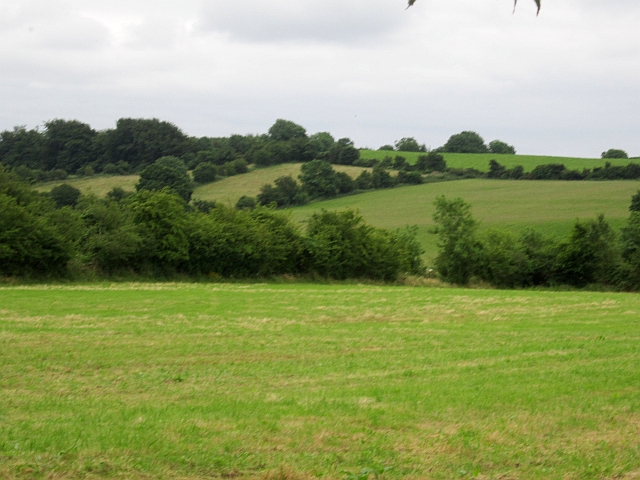
Lakill
Grass (cut for silage) and drumlins.
Loading map... (JavaScript required)
- Grid Square
- N4970, 2 images (more nearby 🔍)
- Photographer
- Richard Webb (more nearby)
- Date Taken
- Tuesday, 24 July, 2012 (more nearby)
- Submitted
- Thursday, 9 August, 2012
- Subject Location
-
Irish:
 N 492 707 [100m precision]
WGS84: 53:41.0809N 7:15.3024W - Camera Location
-
Irish: N 492 708
- View Direction
- South-southeast (about 157 degrees)