2012
NX2953 : Woodland on Gargrie Moor
taken 12 years ago, 3 km from Culshabbin, Dumfries And Galloway, Scotland
This is 1 of 2 images, with title Woodland on Gargrie Moor in this square
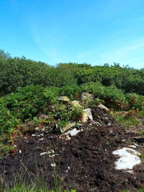
Woodland on Gargrie Moor
Dismantled stane wall and woodland to the north east of Gargrie Moor with recent evidence of cattle using the area for grazing.
 Map © Crown Copyright")
TIP: Click the map for more Large scale mapping
- Grid Square
- NX2953, 33 images (more nearby 🔍)
- Photographer
- Andy Farrington (more nearby)
- Date Taken
- Wednesday, 8 August, 2012 (more nearby)
- Submitted
- Thursday, 9 August, 2012
- Subject Location
-
OSGB36:
 NX 2952 5357 [10m precision]
WGS84: 54:50.8692N 4:39.4073W - Camera Location
-
OSGB36: NX 29516 53584
- View Direction
- Southeast (about 135 degrees)