2012
SD7008 : Thornbank, off Wigan Road
taken 12 years ago, near to Bolton, England
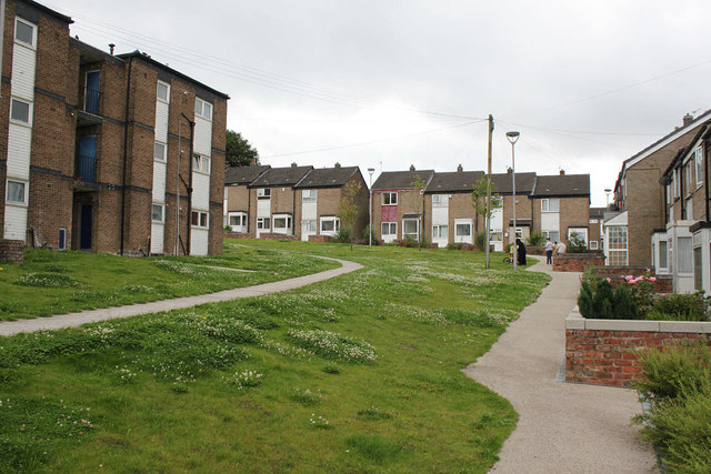
Thornbank, off Wigan Road
Typical 1960s/70s housing development incorporating pedestrian routes and green open space replacing the previously tightly packed Victorian terraced housing.
 Map © Crown Copyright")
TIP: Click the map for more Large scale mapping
- Grid Square
- SD7008, 71 images (more nearby 🔍)
- Photographer
- Alan Murray-Rust (more nearby)
- Date Taken
- Wednesday, 25 July, 2012 (more nearby)
- Submitted
- Monday, 13 August, 2012
- Subject Location
-
OSGB36:
 SD 7021 0853 [10m precision]
WGS84: 53:34.3512N 2:27.0797W - Camera Location
-
OSGB36: SD 70194 08568
- View Direction
- Southeast (about 135 degrees)