2012
SK8433 : The Viking Way, off Cliff road, Woolsthorpe by Belvoir
taken 12 years ago, near to Woolsthorpe by Belvoir, Lincolnshire, England
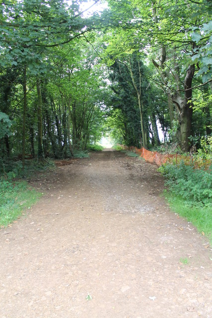
The Viking Way, off Cliff road, Woolsthorpe by Belvoir
The Way is so named because it crosses an area which was occupied by Norse invaders. From the banks of the River Humber it crosses the Lincolnshire Wolds to Caistor, then along the Bain valley to Horncastle from where the Spa Trail is followed along the trackbed of a former railway to Woodhall Spa and along the Witham Valley, crossing flat fenland to Lincoln. Turning along the limestone escarpment of Lincoln Cliff and over Lincoln Heath, the route of the prehistoric Sewstern Lane is traced to reach Woolsthorpe Locks on the Grantham Canal. Another section of Sewstern Lane and other old tracks are followed to Thistleton from where the Way takes field-paths and lanes past Greetham, Exton and Rutland Water. At Oakham it links with the Macmillan Way and the Hereward Way.
Paths are marked with a Viking helmet on a yellow disc.
See other images of The Viking Way
Paths are marked with a Viking helmet on a yellow disc.
See other images of The Viking Way
 Map © Crown Copyright")
TIP: Click the map for more Large scale mapping
- Grid Square
- SK8433, 25 images (more nearby 🔍)
- Photographer
- J.Hannan-Briggs (more nearby)
- Contributed by
- Julian P Guffogg (more nearby)
- Date Taken
- Sunday, 12 August, 2012 (more nearby)
- Submitted
- Tuesday, 14 August, 2012
- Subject Location
-
OSGB36:
 SK 8458 3362 [10m precision]
WGS84: 52:53.6032N 0:44.6542W - Camera Location
-
OSGB36: SK 8457 3367
- View Direction
- South-southeast (about 157 degrees)