2012
TQ3279 : Guy Street Park - path
taken 12 years ago, near to Bermondsey, Southwark, England
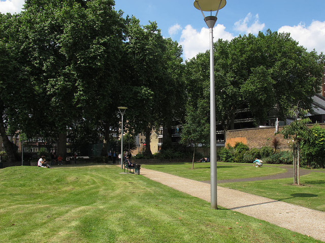
Guy Street Park - path
The main pedestrian route east-west through the park.
Guy Street Park
This small park to the north of Guy Street was formerly a burial ground for Guy's Hospital from the 18th to mid-19th century. It became a public open space from 1899 as Nelson Recreation Ground, managed by the London County Council. In the mid 20th century, under Bermondsey Borough Council, it was known as Kipling Street Park. It acquired its present name in April 2003 when it was refurbished by the present London Borough of Southwark. [Information from a plaque in the park].
 Map © Crown Copyright")
TIP: Click the map for more Large scale mapping
- Grid Square
- TQ3279, 943 images (more nearby 🔍)
- Photographer
- Stephen Craven (more nearby)
- Date Taken
- Thursday, 9 August, 2012 (more nearby)
- Submitted
- Tuesday, 14 August, 2012
- Subject Location
-
OSGB36:
 TQ 3293 7980 [10m precision]
WGS84: 51:30.0908N 0:5.1743W - Camera Location
-
OSGB36: TQ 3295 7979
- View Direction
- West-northwest (about 292 degrees)