2012
NS2984 : Woodland clearing
taken 12 years ago, near to Rhu, Argyll And Bute, Scotland
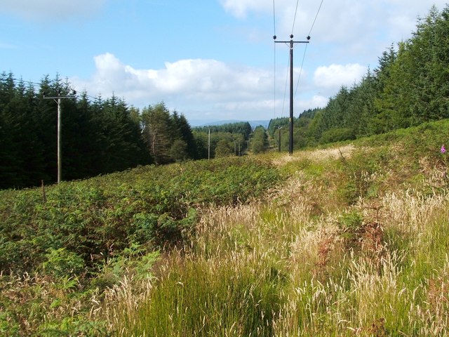
Woodland clearing
This clear lane for power lines is shown on the map. The picture was taken from a footpath which follows the eastern edge of the woods: NS2984 : The Three Lochs Way / NS2984 : The Three Lochs Way.
 Map © Crown Copyright")
TIP: Click the map for more Large scale mapping
- Grid Square
- NS2984, 57 images (more nearby 🔍)
- Photographer
- Lairich Rig (more nearby)
- Date Taken
- Friday, 10 August, 2012 (more nearby)
- Submitted
- Thursday, 16 August, 2012
- Subject Location
-
OSGB36:
 NS 2924 8459 [10m precision]
WGS84: 56:1.4218N 4:44.4911W - Camera Location
-
OSGB36: NS 2932 8460
- View Direction
- West-southwest (about 247 degrees)