2012
NN4731 : Peat hag east of Sgiath Chrom
taken 12 years ago, 4 km WNW of Auchlyne, Stirling, Scotland
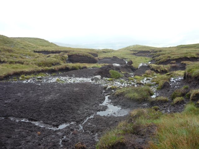
Peat hag east of Sgiath Chrom
In this square the ground slopes eastwards down towards the Auchlyne Burn with few features other than peat hags such as this.
 Map © Crown Copyright")
TIP: Click the map for more Large scale mapping
- Grid Square
- NN4731 (more nearby 🔍)
- Photographer
- Gordon Morrison (more nearby)
- Date Taken
- Thursday, 16 August, 2012 (more nearby)
- Submitted
- Thursday, 16 August, 2012
- Subject Location
-
OSGB36:
 NN 4737 3117 [10m precision]
WGS84: 56:26.8752N 4:28.6678W - Camera Location
-
OSGB36: NN 4731 3121
- View Direction
- East-southeast (about 112 degrees)