2012
SE6961 : Sandy Lane (Track)
taken 12 years ago, near to Harton, North Yorkshire, England
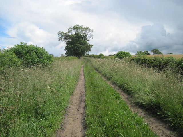
Sandy Lane (Track)
Running from Scotchman Lane to the A64(T)
 Map © Crown Copyright")
TIP: Click the map for more Large scale mapping
- Grid Square
- SE6961, 35 images (more nearby 🔍)
- Photographer
- Martin Dawes (more nearby)
- Date Taken
- Wednesday, 11 July, 2012 (more nearby)
- Submitted
- Sunday, 19 August, 2012
- Subject Location
-
OSGB36:
 SE 6920 6187 [10m precision]
WGS84: 54:2.8896N 0:56.6757W - Camera Location
-
OSGB36: SE 6909 6185
- View Direction
- EAST (about 90 degrees)