2012
HU3856 : The Butter Stone
taken 12 years ago, near to East Burrafirth, Mainland, Shetland Islands, Scotland
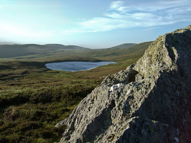
The Butter Stone
The Butter Stone on the SE flank of Scallafield with the Loch of Lunklet below it.
 Map © Crown Copyright")
TIP: Click the map for more Large scale mapping
- Grid Square
- HU3856, 6 images (more nearby 🔍)
- Photographer
- David Nicolson (more nearby)
- Date Taken
- Monday, 13 August, 2012 (more nearby)
- Submitted
- Sunday, 19 August, 2012
- Subject Location
-
OSGB36:
 HU 3807 5651 [10m precision]
WGS84: 60:17.4584N 1:18.7944W - Camera Location
-
OSGB36: HU 3808 5649
- View Direction
- North-northwest (about 337 degrees)