2012
TR0164 : Saxon Shore Way
taken 12 years ago, near to Uplees, Kent, England
This is 1 of 4 images, with title Saxon Shore Way in this square
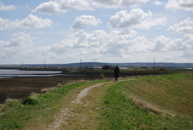
Saxon Shore Way
The Saxon Shore Way starts at Gravesend, Kent and traces the coast as it was in the Roman times as far as Hastings in East Sussex, 163 miles (262 km) in total. The Saxon Shore Way was originally opened in 1980, but has since been re-established, and in parts re-routed and extended. It follows the coastline of the South East as it was about 1500 years ago, long before the North Kent Marshes or the Romney Marsh came into existence. The Way takes its name, The Saxon Shore, from a line of fortifications built along the coastline as it was in the 3rd Century AD.
See other images of Saxon Shore Way
See other images of Saxon Shore Way
 Map © Crown Copyright")
TIP: Click the map for more Large scale mapping
- Grid Square
- TR0164, 208 images (more nearby 🔍)
- Photographer
- N Chadwick (more nearby)
- Date Taken
- Sunday, 22 April, 2012 (more nearby)
- Submitted
- Saturday, 25 August, 2012
- Subject Location
-
OSGB36:
 TR 0107 6491 [10m precision]
WGS84: 51:20.8614N 0:53.1548E - Camera Location
-
OSGB36: TR 0104 6493
- View Direction
- Southeast (about 135 degrees)