2012
SD7051 : Boundary Stone, near Dunnow Lodge
taken 12 years ago, near to Slaidburn, Lancashire, England
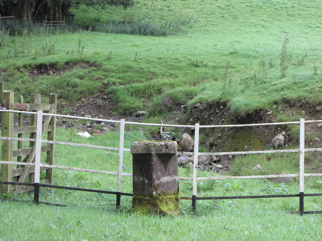
Boundary Stone, near Dunnow Lodge
Marking the boundary between Newton and Slaidburn. Dunnow Syke flows beyond the railings en route to join the River Hodder.
 Map © Crown Copyright")
TIP: Click the map for more Large scale mapping
- Grid Square
- SD7051, 39 images (more nearby 🔍)
- Photographer
- David Rogers (more nearby)
- Date Taken
- Tuesday, 21 August, 2012 (more nearby)
- Submitted
- Saturday, 25 August, 2012
- Subject Location
-
OSGB36:
 SD 7081 5171 [10m precision]
WGS84: 53:57.6387N 2:26.7821W - Camera Location
-
OSGB36: SD 7081 5171
- View Direction
- Northwest (about 315 degrees)