2012
SZ0890 : Cliff top path and shelter, Bournemouth
taken 12 years ago, near to Westbourne, Bournemouth, Christchurch & Poole, England
This is 1 of 6 images, with title starting with Cliff in this square
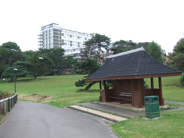
Cliff top path and shelter, Bournemouth
A path on the cliff top at West Cliff, Bournemouth.
 Map © Crown Copyright")
TIP: Click the map for more Large scale mapping
- Grid Square
- SZ0890, 1540 images (more nearby 🔍)
- Photographer
- Malc McDonald (more nearby)
- Date Taken
- Thursday, 16 August, 2012 (more nearby)
- Submitted
- Monday, 27 August, 2012
- Subject Location
-
OSGB36:
 SZ 0806 9053 [10m precision]
WGS84: 50:42.8608N 1:53.2322W - Camera Location
-
OSGB36: SZ 0807 9052
- View Direction
- Northwest (about 315 degrees)