2012
SS8481 : A view towards Kenfig Hill
taken 12 years ago, near to Kenfig Hill, Bridgend/Pen-y-Bont ar Ogwr, Wales
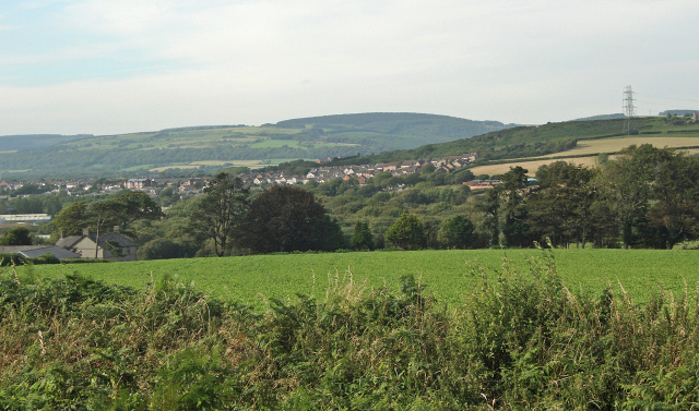
A view towards Kenfig Hill
Parts of Kenfig Hill around Waunbant Road (and over a kilometre from the camera) are seen in this photograph which was taken at the northern edge of Stormy Down.
 Map © Crown Copyright")
TIP: Click the map for more Large scale mapping
- Grid Square
- SS8481, 24 images (more nearby 🔍)
- Photographer
- eswales (more nearby)
- Date Taken
- August 2012 (more nearby)
- Submitted
- Wednesday, 29 August, 2012
- Subject Location
-
OSGB36:
 SS 842 813 [100m precision]
WGS84: 51:31.1443N 3:40.2225W - Camera Location
-
OSGB36: SS 842 812
- View Direction
- North-northwest (about 337 degrees)