2012
TQ4360 : Luxted Road
taken 12 years ago, near to Cudham, Bromley, England
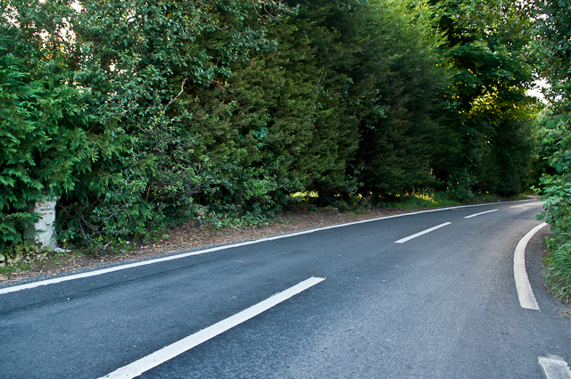
Luxted Road
With Coal Tax Post no 188 (see TQ4360 : Coal Tax Post no 188) on the left.
Coal Tax Posts
Coal Tax Posts were markers defining the area within which the Corporation of London could charge duty on coal entering the area. This area had been expanded in 1851 but then reduced in 1861 to coincide with the Metropolitan Police District of the day, the limits of which were between about 20 km and 30km from Charing Cross. It is from this latter time that most of the existing posts date. See Link
for further background, with much more comprehensive information at Martin Nail's excellent site, Link
 Map © Crown Copyright")
TIP: Click the map for more Large scale mapping
- Grid Square
- TQ4360, 104 images (more nearby 🔍)
- Photographer
- Ian Capper (more nearby)
- Date Taken
- Monday, 20 August, 2012 (more nearby)
- Submitted
- Saturday, 1 September, 2012
- Subject Location
-
OSGB36:
 TQ 435 600 [100m precision]
WGS84: 51:19.2694N 0:3.5025E - Camera Location
-
OSGB36: TQ 435 600
- View Direction
- Northwest (about 315 degrees)