2012
SE7055 : The former rail viaduct at Stamford Bridge
taken 12 years ago, near to Stamford Bridge, East Riding of Yorkshire, England
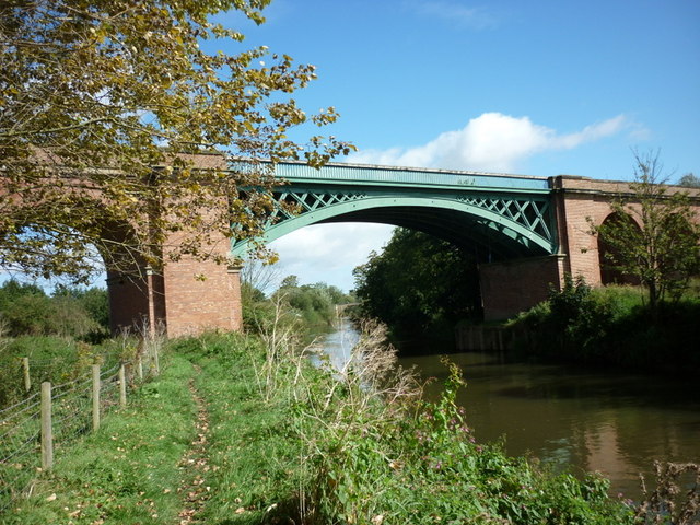
The former rail viaduct at Stamford Bridge
 Map © Crown Copyright")
TIP: Click the map for more Large scale mapping
- Grid Square
- SE7055, 72 images (more nearby 🔍)
- Photographer
- Ian S (more nearby)
- Date Taken
- Friday, 14 September, 2012 (more nearby)
- Submitted
- Friday, 14 September, 2012
- Subject Location
-
OSGB36:
 SE 7086 5540 [10m precision]
WGS84: 53:59.3877N 0:55.2451W - Camera Location
-
OSGB36: SE 7083 5539
- View Direction
- East-northeast (about 67 degrees)