2012

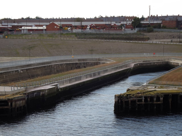
NZ3567 : Bull Ring Docks

taken 12 years ago, near to North Shields, North Tyneside, England

Bull Ring Docks
Bull Ring Docks
Disused [closed 1990s] graving docks on the River Tyne at North Shields.
LinkExternal link

Creative Commons Licence [Some Rights Reserved]   © Copyright Colin Smith and licensed for reuse under this Creative Commons Licence.
Geographical Context: Docks, Harbours River: Tyne Place: Port of Tyne North Shields other tags: Graving Dock Click a tag, to view other nearby images.
This photo is linked from: Automatic Clusters: · Closed [16] · Graving Dock [6] Other Photos: · Riverside above North Shield Ferry Landing Stage ·
1:50,000 Modern Day Landranger(TM) Map © Crown Copyright
+
+
1:50,000 Modern Day Landranger(TM) Map © Crown Copyright
TIP: Click the map for more Large scale mapping
Grid Square
NZ3567, 236 images   (more nearby 🔍)
Photographer
Colin Smith   (more nearby)
Date Taken
Sunday, 9 September, 2012   (more nearby)
Submitted
Sunday, 16 September, 2012
Subject Location
OSGB36: geotagged! NZ 3552 6759 [10m precision]
WGS84: 55:0.0972N 1:26.7751W
Camera Location
OSGB36: geotagged! NZ 3570 6768
View Direction
West-southwest (about 247 degrees)
Clickable map
+
NW N NE
W Go E
SW S SE
Image classification(about): Geograph
This page has been viewed about 96 times
You are not logged in login | register