2012
NY1617 : Crummock Road
taken 12 years ago, near to Buttermere, Cumbria, England
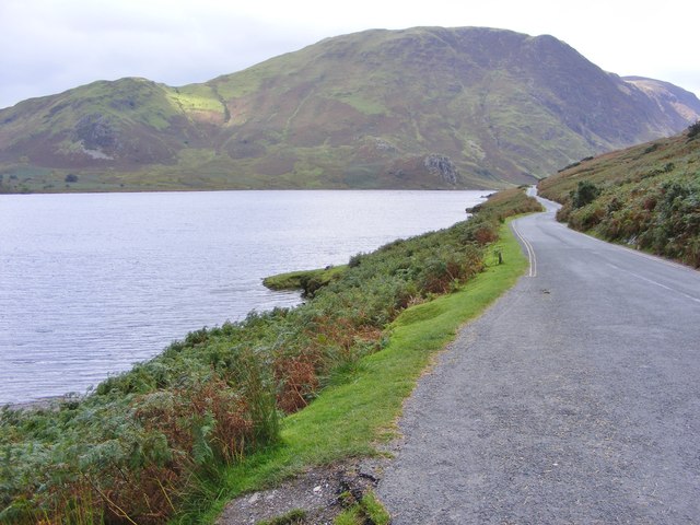
Crummock Road
The B5289 leaves Buttermere and runs alondside Crummock Water.
 Map © Crown Copyright")
TIP: Click the map for more Large scale mapping
- Grid Square
- NY1617, 65 images (more nearby 🔍)
- Photographer
- Gordon Griffiths (more nearby)
- Date Taken
- Tuesday, 11 September, 2012 (more nearby)
- Submitted
- Tuesday, 25 September, 2012
- Subject Location
-
OSGB36:
 NY 1666 1776 [10m precision]
WGS84: 54:32.8922N 3:17.3941W - Camera Location
-
OSGB36: NY 1673 1772
- View Direction
- West-northwest (about 292 degrees)