2012
NN9459 : Creag Chuinnlean and the Dane's Stone, Moulin
taken 12 years ago, near to Moulin, Perth And Kinross, Scotland
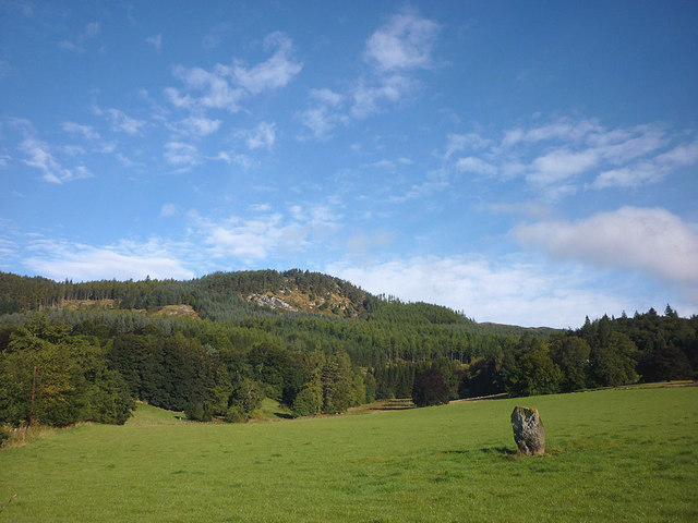
Creag Chuinnlean and the Dane's Stone, Moulin
Our map of Pitlochry Walks calls this standing stone the Dane's Stone. It may once have been part of a circle and is supposed to bear cup-and-ring markings.
 Map © Crown Copyright")
TIP: Click the map for more Large scale mapping
- Grid Square
- NN9459, 147 images (more nearby 🔍)
- Photographer
- Karl and Ali (more nearby)
- Date Taken
- Friday, 21 September, 2012 (more nearby)
- Submitted
- Monday, 1 October, 2012
- Subject Location
-
OSGB36:
 NN 9425 5941 [10m precision]
WGS84: 56:42.8615N 3:43.7552W - Camera Location
-
OSGB36: NN 9427 5937
- View Direction
- North-northwest (about 337 degrees)