2012
SO8356 : Trees lining the east bank of the Severn
taken 12 years ago, near to Dines Green, Worcestershire, England
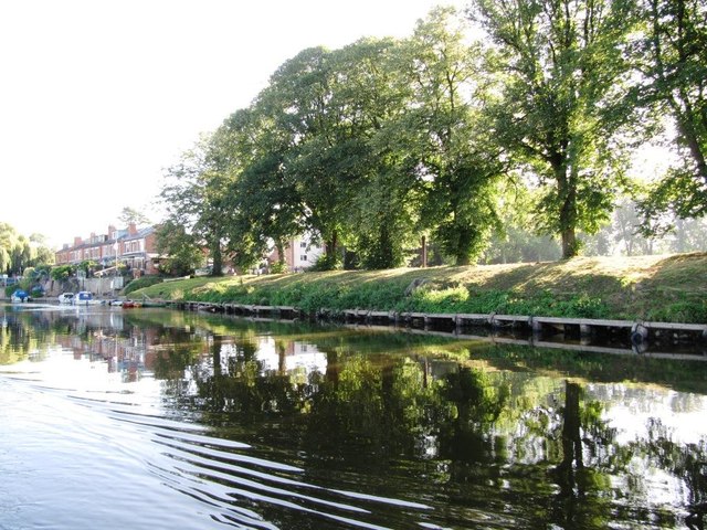
Trees lining the east bank of the Severn
South of Waterworks Road. Seen from a narrowboat heading upstream.
 Map © Crown Copyright")
TIP: Click the map for more Large scale mapping
- Grid Square
- SO8356, 59 images (more nearby 🔍)
- Photographer
- Christine Johnstone (more nearby)
- Date Taken
- Friday, 7 September, 2012 (more nearby)
- Submitted
- Monday, 15 October, 2012
- Subject Location
-
OSGB36:
 SO 8397 5641 [10m precision]
WGS84: 52:12.3407N 2:14.1594W - Camera Location
-
OSGB36: SO 8392 5640
- View Direction
- East-northeast (about 67 degrees)