2008
SH3082 : Llanfachraeth grassland
taken 16 years ago, near to Llanfachraeth, Isle of Anglesey/Sir Ynys Mon, Wales
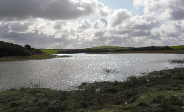
Llanfachraeth grassland
 Map © Crown Copyright")
TIP: Click the map for more Large scale mapping
- Grid Square
- SH3082, 14 images (more nearby 🔍)
- Photographer
- Christine Courtney (more nearby)
- Date Taken
- Thursday, 2 October, 2008 (more nearby)
- Submitted
- Monday, 15 October, 2012
- Subject Location
-
OSGB36:
 SH 3068 8201 [10m precision]
WGS84: 53:18.4733N 4:32.5648W - Camera Location
-
OSGB36: SH 3062 8204
- View Direction
- East-southeast (about 112 degrees)