2012

SS9323 : Blight's Hill

taken 12 years ago, near to Exebridge, Devon, England
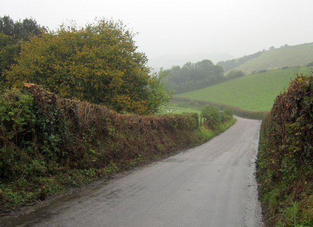
Blight's Hill
Blight's Hill
Carrying the Exe Valley Way, the road from Lodfin to Exebridge drops down from the watershed between the Shuttern Brook and the Exe.

Creative Commons Licence [Some Rights Reserved]   © Copyright Derek Harper and licensed for reuse under this Creative Commons Licence.
Geographical Context: Lowlands Farm, Fishery, Market Gardening Roads, Road transport Long Distance Path: Exe Valley Way other tags: Country Road Hedgebanks Trees Pasture Click a tag, to view other nearby images.
This photo is linked from: Automatic Clusters: · Road [7] · Exebridge [3] · Exe Valley Way [2] Other Photos: · Sheep by the Exe Valley Way ·
1:50,000 Modern Day Landranger(TM) Map © Crown Copyright
+
+
1:50,000 Modern Day Landranger(TM) Map © Crown Copyright
TIP: Click the map for more Large scale mapping
Grid Square
SS9323, 12 images   (more nearby 🔍)
Photographer
Derek Harper   (more nearby)
Date Taken
Wednesday, 10 October, 2012   (more nearby)
Submitted
Tuesday, 16 October, 2012
Subject Location
OSGB36: geotagged! SS 9396 2394 [10m precision]
WGS84: 51:0.3025N 3:30.7636W
Camera Location
OSGB36: geotagged! SS 9399 2391
View Direction
Northwest (about 315 degrees)
Clickable map
+
NW N NE
W Go E
SW S SE
Image classification(about): Geograph (Third Visitor for SS9323)
This page has been viewed about 20 times
You are not logged in login | register