J3473 : Bus lane, May Street, Belfast
taken 11 years ago, near to Belfast, Co Antrim, Northern Ireland
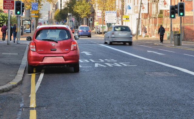
A series of measures, due to be undertaken during 2011/13, described officially as The redistribution of existing road space in city centre streets to provide extensive priority measures for buses, cyclists and permitted taxis, with 2.6km of new bus lanes identified, which will also accommodate cyclists and permitted taxis;
The section of Grosvenor Road between Fisherwick Place and Durham Street will become one-way westbound and College Square North will become one-way eastbound, both with contra-flow cycling provision;
The re-routing of northbound through traffic from Great Victoria Street onto a new two-way Hope Street and Durham Street, with southbound traffic continuing to use Great Victoria Street;
The provision of 20 new controlled pedestrian crossing points;
340m of new dedicated service bays;
1km of new dedicated cycle lanes; and
Over 40 additional dedicated disabled parking bays.
The photographs submitted by me appear as a matter of geographical and historical record only. I have no connection with the Roads Service and do not express any views on the merits (or otherwise) of the scheme.
- Grid Square
- J3473, 885 images (more nearby 🔍)
- Photographer
- Albert Bridge (more nearby)
- Date Taken
- Sunday, 21 October, 2012 (more nearby)
- Submitted
- Sunday, 21 October, 2012
- Subject Location
-
Irish:
 J 340 739 [100m precision]
WGS84: 54:35.7655N 5:55.5853W - Camera Location
-
Irish: J 340 739
- View Direction
- WEST (about 270 degrees)