2012
NR4353 : Woodland by the Claggain River, Islay
taken 11 years ago, 3 km from Ardtalla, Islay, Argyll And Bute, Scotland
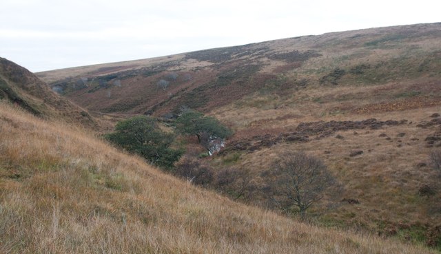
Woodland by the Claggain River, Islay
The Claggain River runs through Gleann Leòra (Glen of Plenty) and ends at Claggain Bay.
 Map © Crown Copyright")
TIP: Click the map for more Large scale mapping
- Grid Square
- NR4353, 2 images (more nearby 🔍)
- Photographer
- Becky Williamson (more nearby)
- Date Taken
- Monday, 22 October, 2012 (more nearby)
- Submitted
- Thursday, 25 October, 2012
- Subject Location
-
OSGB36:
 NR 4383 5379 [10m precision]
WGS84: 55:42.5792N 6:4.7759W - Camera Location
-
OSGB36: NR 4383 5385
- View Direction
- SOUTH (about 180 degrees)