2010
NU0122 : Byroad and farmland, Ilderton
taken 14 years ago, near to Ilderton, Northumberland, England
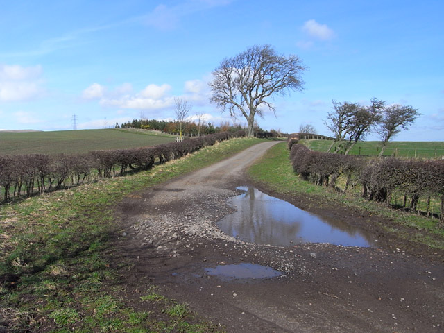
Byroad and farmland, Ilderton
This unmade road heads north from the village through mixed arable and pastoral farmland and plantations on its way towards South Middleton.
 Map © Crown Copyright")
TIP: Click the map for more Large scale mapping
- Grid Square
- NU0122, 17 images (more nearby 🔍)
- Photographer
- Andrew Smith (more nearby)
- Date Taken
- Friday, 2 April, 2010 (more nearby)
- Submitted
- Monday, 29 October, 2012
- Subject Location
-
OSGB36:
 NU 0132 2230 [10m precision]
WGS84: 55:29.6694N 1:58.8398W - Camera Location
-
OSGB36: NU 0136 2223
- View Direction
- North-northwest (about 337 degrees)