2012
SP2217 : Signpost on the bridleway
taken 12 years ago, near to Fifield, Oxfordshire, England
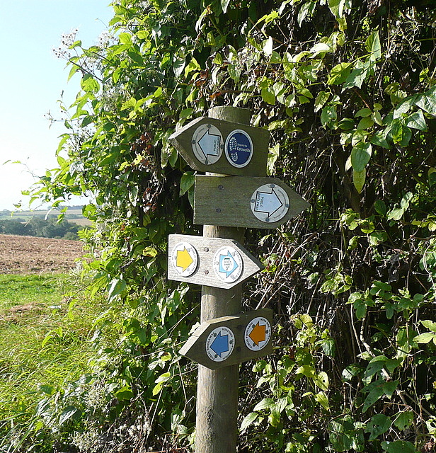
Signpost on the bridleway
The signs indicate that the dog leg on the bridleway shown on the map no longer exists, the corner has been cut off. Interestingly there are footpath signs shown as well as bridleway signs but the route is identical, so why?
 Map © Crown Copyright")
TIP: Click the map for more Large scale mapping
- Grid Square
- SP2217, 19 images (more nearby 🔍)
- Photographer
- Graham Horn (more nearby)
- Date Taken
- Saturday, 15 September, 2012 (more nearby)
- Submitted
- Monday, 29 October, 2012
- Subject Location
-
OSGB36:
 SP 2212 1783 [10m precision]
WGS84: 51:51.5173N 1:40.8128W - Camera Location
-
OSGB36: SP 2212 1783
- View Direction
- SOUTH (about 180 degrees)