2012
TF7230 : Field Barn near Anmer
taken 12 years ago, near to Shernborne, Norfolk, England
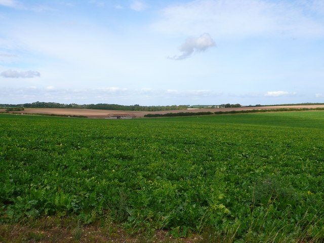
Field Barn near Anmer
This large field of root crops is just off the Ling House Rd. In the distance beyond the barn is the thin line of woods known as Smugglers Belt.
 Map © Crown Copyright")
TIP: Click the map for more Large scale mapping
- Grid Square
- TF7230, 7 images (more nearby 🔍)
- Photographer
- Nigel Mykura (more nearby)
- Date Taken
- Thursday, 13 September, 2012 (more nearby)
- Submitted
- Thursday, 1 November, 2012
- Subject Location
-
OSGB36:
 TF 7249 3074 [10m precision]
WGS84: 52:50.7922N 0:33.5930E - Camera Location
-
OSGB36: TF 7263 3048
- View Direction
- North-northwest (about 337 degrees)