2012
ST6734 : Leggs Bridge, Cole Road
taken 12 years ago, near to Bruton, Somerset, England
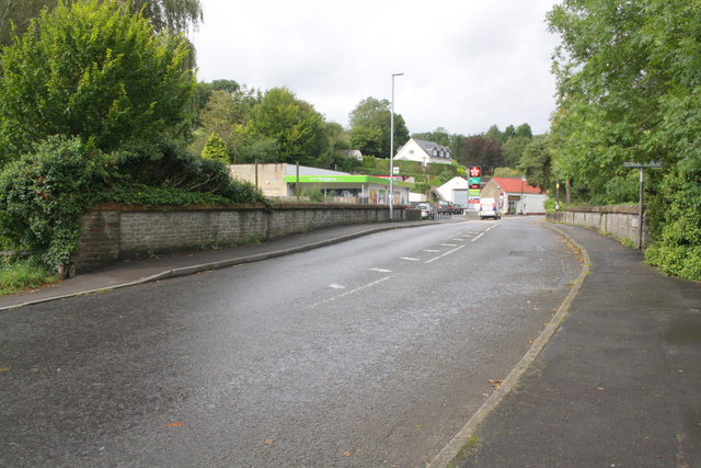
Leggs Bridge, Cole Road
The bridge takes the A359 over the River Brue. There is an OS benchmark ST6734 : Benchmark on Leggs Bridge on the near end of the left hand side parapet.
 Map © Crown Copyright")
TIP: Click the map for more Large scale mapping
- Grid Square
- ST6734, 52 images (more nearby 🔍)
- Photographer
- Roger Templeman (more nearby)
- Date Taken
- Monday, 24 September, 2012 (more nearby)
- Submitted
- Friday, 2 November, 2012
- Subject Location
-
OSGB36:
 ST 6799 3453 [10m precision]
WGS84: 51:6.5499N 2:27.5172W - Camera Location
-
OSGB36: ST 6800 3452
- View Direction
- Northwest (about 315 degrees)