2007
SE1421 : Woodhouse Lane, Rastrick
taken 17 years ago, near to Rastrick, Calderdale, England
This is 1 of 2 images, with title Woodhouse Lane, Rastrick in this square
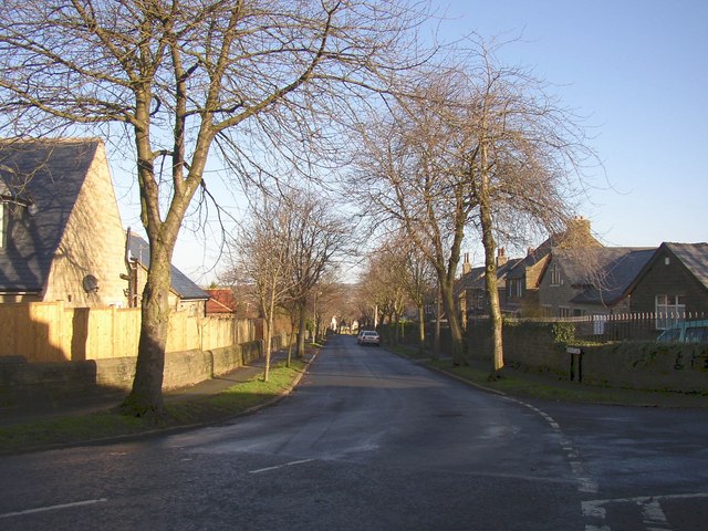
Woodhouse Lane, Rastrick
This is the southern end, at the junction with Shepherds Thorn Lane. The road is an ancient lane that was reconstructed as unemployment relief works in 1930.
 Map © Crown Copyright")
TIP: Click the map for more Large scale mapping
- Grid Square
- SE1421, 233 images (more nearby 🔍)
- Photographer
- Humphrey Bolton (more nearby)
- Date Taken
- Monday, 22 January, 2007 (more nearby)
- Submitted
- Friday, 26 January, 2007
- Subject Location
-
OSGB36:
 SE 145 212 [100m precision]
WGS84: 53:41.2233N 1:46.9152W - Camera Location
-
OSGB36: SE 145 212
- View Direction
- Northeast (about 45 degrees)