2012
SO8637 : Uckinghall near Bank Farm
taken 11 years ago, near to Ripple, Worcestershire, England
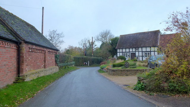
Uckinghall near Bank Farm
Uckinghall is very prone to flooding.
However, new flood defences have been built, see SO8637 : Flood defences, Uckinghall
However, new flood defences have been built, see SO8637 : Flood defences, Uckinghall
 Map © Crown Copyright")
TIP: Click the map for more Large scale mapping
- Grid Square
- SO8637, 61 images (more nearby 🔍)
- Photographer
- Jonathan Billinger (more nearby)
- Date Taken
- Monday, 12 November, 2012 (more nearby)
- Submitted
- Tuesday, 13 November, 2012
- Subject Location
-
OSGB36:
 SO 8692 3789 [10m precision]
WGS84: 52:2.3552N 2:11.5262W - Camera Location
-
OSGB36: SO 8694 3788
- View Direction
- West-northwest (about 292 degrees)