2012
NZ3529 : Farmland, Sedgefield
taken 11 years ago, near to Sedgefield, County Durham, England
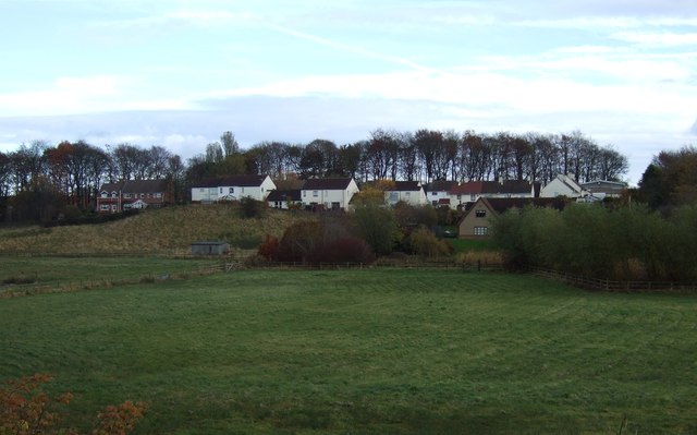
Farmland, Sedgefield
 Map © Crown Copyright")
TIP: Click the map for more Large scale mapping
- Grid Square
- NZ3529, 30 images (more nearby 🔍)
- Photographer
- JThomas (more nearby)
- Date Taken
- Saturday, 17 November, 2012 (more nearby)
- Submitted
- Sunday, 18 November, 2012
- Subject Location
-
OSGB36:
 NZ 3516 2964 [10m precision]
WGS84: 54:39.6376N 1:27.3886W - Camera Location
-
OSGB36: NZ 35105 29632
- View Direction
- EAST (about 90 degrees)