2007
SU1589 : Demolished petrol station, A419, Swindon
taken 17 years ago, near to Blunsdon st Andrew, Swindon, England
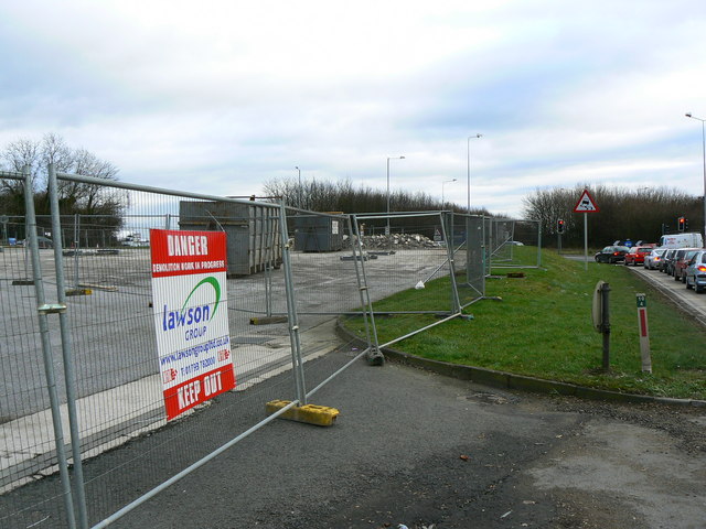
Demolished petrol station, A419, Swindon
Gone as expected. SU1589 : Former BP service station A419 Blunsdon
 Map © Crown Copyright")
TIP: Click the map for more Large scale mapping
- Grid Square
- SU1589, 31 images (more nearby 🔍)
- Photographer
- Brian Robert Marshall (more nearby)
- Date Taken
- Sunday, 28 January, 2007 (more nearby)
- Submitted
- Sunday, 28 January, 2007
- Subject Location
-
OSGB36:
 SU 152 894 [100m precision]
WGS84: 51:36.1942N 1:46.9156W - Camera Location
-
OSGB36: SU 152 894
- View Direction
- EAST (about 90 degrees)