2012
TQ4077 : Mayhill Road
taken 11 years ago, near to Charlton, Greenwich, England
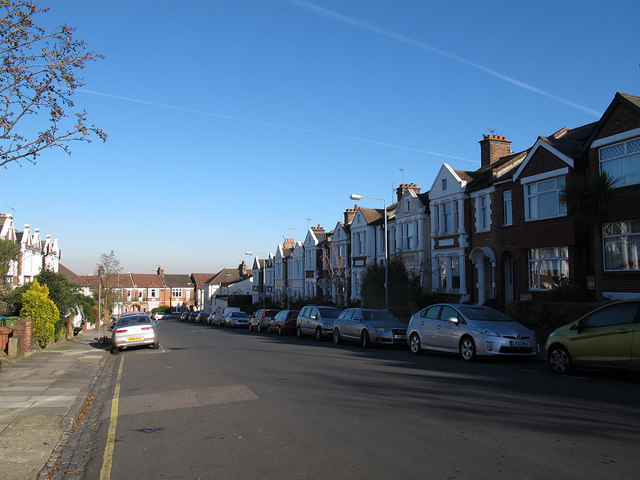
Mayhill Road
A residential street typical of this area developed on what had been farmland in the early 20th century.
 Map © Crown Copyright")
TIP: Click the map for more Large scale mapping
- Grid Square
- TQ4077, 362 images (more nearby 🔍)
- Photographer
- Stephen Craven (more nearby)
- Date Taken
- Sunday, 18 November, 2012 (more nearby)
- Submitted
- Thursday, 22 November, 2012
- Subject Location
-
OSGB36:
 TQ 406 776 [100m precision]
WGS84: 51:28.8418N 0:1.4098E - Camera Location
-
OSGB36: TQ 406 776
- View Direction
- NORTH (about 0 degrees)