2012
SD3378 : Looking out of Capeshead Cave
taken 11 years ago, near to Canal Foot, Cumbria, England
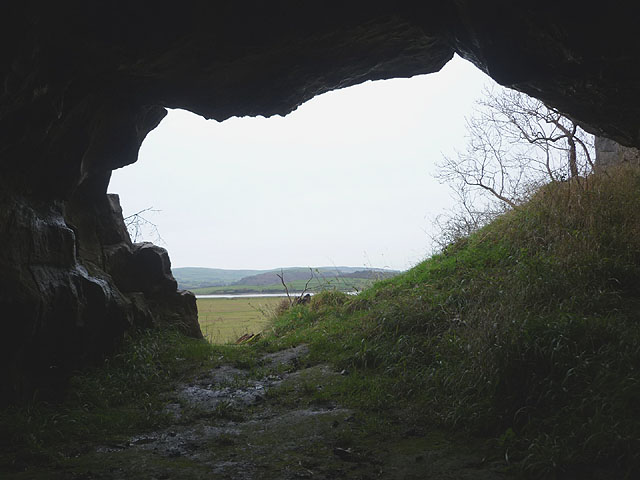
Looking out of Capeshead Cave
The cave was apparently discovered in the 19th Century by labourers excavating rock for the nearby railway embankment, when it was slightly longer than its current 20m. The entrance is 2m tall by 4m wide and is an archaeological site yielding animal and human bones and some pottery.
 Map © Crown Copyright")
TIP: Click the map for more Large scale mapping
- Grid Square
- SD3378, 26 images (more nearby 🔍)
- Photographer
- Karl and Ali (more nearby)
- Date Taken
- Saturday, 24 November, 2012 (more nearby)
- Submitted
- Saturday, 24 November, 2012
- Subject Location
-
OSGB36:
 SD 3334 7810 [10m precision]
WGS84: 54:11.6585N 3:1.3914W - Camera Location
-
OSGB36: SD 3334 7810
- View Direction
- West-northwest (about 292 degrees)