2012
ST9102 : River Stour at Spetisbury
taken 12 years ago, near to Spetisbury, Dorset, England
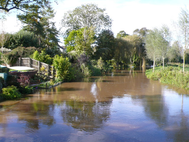
River Stour at Spetisbury
The river is very high due to recent rain and the water is starting to lap over in to the gardens of the houses along the river.
 Map © Crown Copyright")
TIP: Click the map for more Large scale mapping
- Grid Square
- ST9102, 49 images (more nearby 🔍)
- Photographer
- Nigel Mykura (more nearby)
- Date Taken
- Saturday, 6 October, 2012 (more nearby)
- Submitted
- Monday, 26 November, 2012
- Subject Location
-
OSGB36:
 ST 913 025 [100m precision]
WGS84: 50:49.3293N 2:7.4927W - Camera Location
-
OSGB36: ST 913 023
- View Direction
- North-northwest (about 337 degrees)