2012
SE4225 : The Footbridge and weir at Castleford
taken 11 years ago, near to Castleford, Wakefield, England
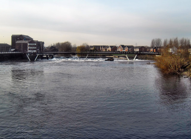
The Footbridge and weir at Castleford
The river Aire at Castleford looking upstream to the new footbridge and weir. The closed flourmill is going to be converted to an Heritage centre for arts.
 Map © Crown Copyright")
TIP: Click the map for more Large scale mapping
- Grid Square
- SE4225, 653 images (more nearby 🔍)
- Photographer
- derek dye (more nearby)
- Date Taken
- Friday, 30 November, 2012 (more nearby)
- Submitted
- Friday, 30 November, 2012
- Subject Location
-
OSGB36:
 SE 428 259 [100m precision]
WGS84: 53:43.7026N 1:21.1388W - Camera Location
-
OSGB36: SE 429 259
- View Direction
- WEST (about 270 degrees)