2012
SU6189 : Flooded Fields, Crowmarsh
taken 11 years ago, near to Wallingford, Oxfordshire, England
This is 1 of 6 images, with title starting with Flooded in this square
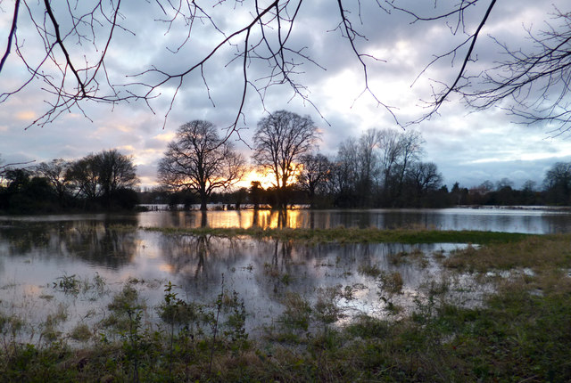
Flooded Fields, Crowmarsh
This is flood plain and goes under most years without any problems. The November 2012 floods have caused much more damage in other parts of the country.
 Map © Crown Copyright")
TIP: Click the map for more Large scale mapping
- Grid Square
- SU6189, 498 images (more nearby 🔍)
- Photographer
- Des Blenkinsopp (more nearby)
- Date Taken
- Tuesday, 27 November, 2012 (more nearby)
- Submitted
- Saturday, 1 December, 2012
- Subject Location
-
OSGB36:
 SU 611 892 [100m precision]
WGS84: 51:35.9160N 1:7.0954W - Camera Location
-
OSGB36: SU 612 893
- View Direction
- Southwest (about 225 degrees)