2012
SU9677 : Windsor Bridge, Berkshire
taken 11 years ago, near to Eton, Windsor And Maidenhead, England
This is 1 of 29 images, with title starting with Windsor Bridge in this square
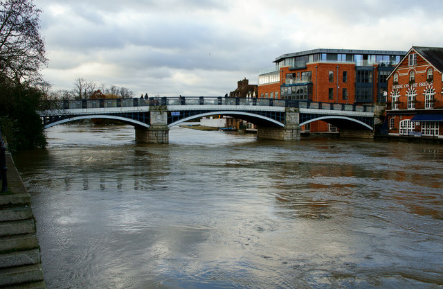
Windsor Bridge, Berkshire
A very full River Thames, following flooding, up river, a couple of days previously.
 Map © Crown Copyright")
TIP: Click the map for more Large scale mapping
- Grid Square
- SU9677, 899 images (more nearby 🔍)
- Photographer
- Peter Trimming (more nearby)
- Date Taken
- Wednesday, 28 November, 2012 (more nearby)
- Submitted
- Tuesday, 4 December, 2012
- Subject Location
-
OSGB36:
 SU 9673 7724 [10m precision]
WGS84: 51:29.1509N 0:36.4971W - Camera Location
-
OSGB36: SU 9678 7725
- View Direction
- West-southwest (about 247 degrees)