2012
NZ0062 : The path to Corbridge
taken 11 years ago, near to Riding Mill, Northumberland, England
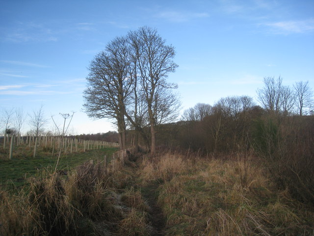
The path to Corbridge
Close to the former garvel pits at Farnley the path to Corbridge rises above the River Tyne.
 Map © Crown Copyright")
TIP: Click the map for more Large scale mapping
- Grid Square
- NZ0062, 33 images (more nearby 🔍)
- Photographer
- Jonathan Thacker (more nearby)
- Date Taken
- Friday, 30 November, 2012 (more nearby)
- Submitted
- Sunday, 9 December, 2012
- Subject Location
-
OSGB36:
 NZ 0095 6257 [10m precision]
WGS84: 54:57.4661N 1:59.2018W - Camera Location
-
OSGB36: NZ 0095 6253
- View Direction
- NORTH (about 0 degrees)