2012
SP5006 : The Thames behind the houses of Abbey Road
taken 11 years ago, near to Botley, Oxfordshire, England
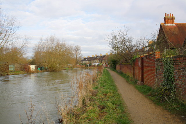
The Thames behind the houses of Abbey Road
There was an Ordnance Survey benchmark Link on the wall but the section has been rebuilt
 Map © Crown Copyright")
TIP: Click the map for more Large scale mapping
- Grid Square
- SP5006, 1518 images (more nearby 🔍)
- Photographer
- Roger Templeman (more nearby)
- Date Taken
- Tuesday, 18 December, 2012 (more nearby)
- Submitted
- Tuesday, 18 December, 2012
- Subject Location
-
OSGB36:
 SP 5033 0644 [10m precision]
WGS84: 51:45.2639N 1:16.3361W - Camera Location
-
OSGB36: SP 5032 0640
- View Direction
- North-northeast (about 22 degrees)