2012
NZ1558 : Smailes Lane, Highfield
taken 11 years ago, near to Highfield, Gateshead, England
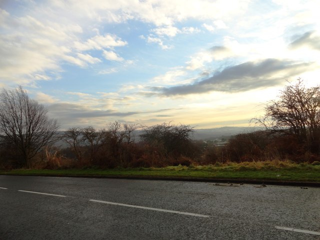
Smailes Lane, Highfield
Looking south across the Derwent Valley to Pontop Pike.
 Map © Crown Copyright")
TIP: Click the map for more Large scale mapping
- Grid Square
- NZ1558, 7 images (more nearby 🔍)
- Photographer
- Robert Graham (more nearby)
- Date Taken
- Wednesday, 12 December, 2012 (more nearby)
- Submitted
- Wednesday, 26 December, 2012
- Subject Location
-
OSGB36:
 NZ 1541 5845 [10m precision]
WGS84: 54:55.2307N 1:45.6667W - Camera Location
-
OSGB36: NZ 1545 5861
- View Direction
- South-southwest (about 202 degrees)