2012
NX3589 : Craigenrae and The Range of the Awful Hand
taken 12 years ago, near to Craigenrae (outdoor Centre) [other Features], South Ayrshire, Great Britain
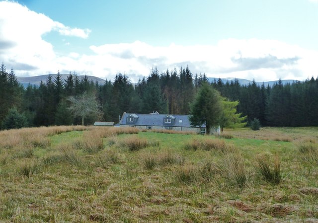
Craigenrae and The Range of the Awful Hand
 Map © Crown Copyright")
TIP: Click the map for more Large scale mapping
- Grid Square
- NX3589, 55 images (more nearby 🔍)
- Photographer
- Ann Cook (more nearby)
- Date Taken
- Wednesday, 18 April, 2012 (more nearby)
- Submitted
- Thursday, 27 December, 2012
- Subject Location
-
OSGB36:
 NX 3543 8924 [10m precision]
WGS84: 55:10.2006N 4:35.1225W - Camera Location
-
OSGB36: NX 3541 8927
- View Direction
- Southeast (about 135 degrees)