2012
SY9893 : A35 Westbound, Upton
taken 11 years ago, near to Upton, Dorset, England
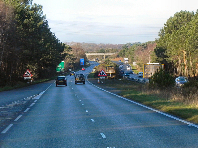
A35 Westbound, Upton
The A35 is a major (and regularly congested) route along England's south coast. It runs for 97 miles, connecting Honiton in Devon with Southampton in Hampshire, via Poole and Bournemouth, with much of its route passing through Dorset and the New Forest. It is a trunk road for some of its length.
Link SABRE
SABRE
See other images of The A35
Link
See other images of The A35
 Map © Crown Copyright")
TIP: Click the map for more Large scale mapping
- Grid Square
- SY9893, 49 images (more nearby 🔍)
- Photographer
- David Dixon (more nearby)
- Date Taken
- Tuesday, 18 December, 2012 (more nearby)
- Submitted
- Sunday, 30 December, 2012
- Subject Location
-
OSGB36:
 SY 9888 9340 [10m precision]
WGS84: 50:44.4125N 2:1.0342W - Camera Location
-
OSGB36: SY 9896 9337
- View Direction
- West-northwest (about 292 degrees)