2012
SK1446 : Footpath running north from Stanton Lane near Upper Mayfield
taken 12 years ago, near to Mayfield, Staffordshire, England
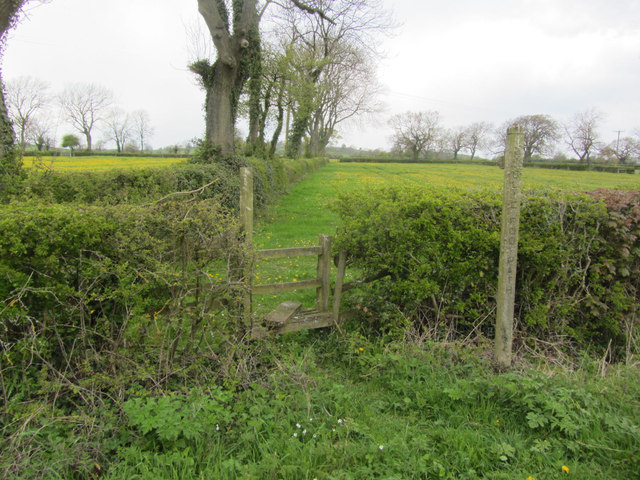
Footpath running north from Stanton Lane near Upper Mayfield
 Map © Crown Copyright")
TIP: Click the map for more Large scale mapping
- Grid Square
- SK1446, 21 images (more nearby 🔍)
- Photographer
- Colin Park (more nearby)
- Date Taken
- Sunday, 6 May, 2012 (more nearby)
- Submitted
- Sunday, 6 January, 2013
- Subject Location
-
OSGB36:
 SK 1436 4657 [10m precision]
WGS84: 53:0.9745N 1:47.2440W - Camera Location
-
OSGB36: SK 1438 4654
- View Direction
- Northwest (about 315 degrees)