2013
NO3582 : Muckle Cairn track
taken 11 years ago, near to Muckle Cairn [other Features], Angus, Great Britain
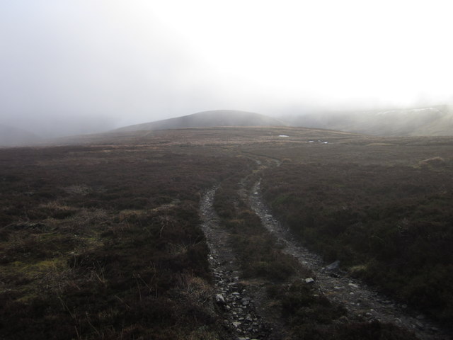
Muckle Cairn track
Track heading across the summit plateau
 Map © Crown Copyright")
TIP: Click the map for more Large scale mapping
- Grid Square
- NO3582, 3 images (more nearby 🔍)
- Photographer
- Paul Atkinson (more nearby)
- Date Taken
- Thursday, 10 January, 2013 (more nearby)
- Submitted
- Sunday, 13 January, 2013
- Subject Location
-
OSGB36:
 NO 3538 8219 [10m precision]
WGS84: 56:55.5888N 3:3.7959W - Camera Location
-
OSGB36: NO 3545 8227
- View Direction
- Southwest (about 225 degrees)