2012
SP5426 : Northbound M40 near Ardley
taken 11 years ago, near to Ardley, Oxfordshire, England
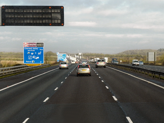
Northbound M40 near Ardley
The M40 Motorway runs for 89 miles, connecting the cities of London and Birmingham.
The motorway was built in two sections. The original M40 which was built between 1967 and 1974 ran from London to Oxford, bypassing the congested A40. In the late 1980s and early 1990s it was extended to join the M42 at Solihull in order to provide an alternative to the M1/M6 route between London and Birmingham; the final section being opened in January 1991.
See other images of The M40 Motorway
 Map © Crown Copyright")
TIP: Click the map for more Large scale mapping
- Grid Square
- SP5426, 19 images (more nearby 🔍)
- Photographer
- David Dixon (more nearby)
- Date Taken
- Friday, 21 December, 2012 (more nearby)
- Submitted
- Tuesday, 15 January, 2013
- Subject Location
-
OSGB36:
 SP 5496 2629 [10m precision]
WGS84: 51:55.9450N 1:12.1231W - Camera Location
-
OSGB36: SP 5496 2619
- View Direction
- NORTH (about 0 degrees)