2012
SP1475 : Northbound M42 near Blythe Valley Park
taken 11 years ago, near to Cheswick Green, Solihull, England
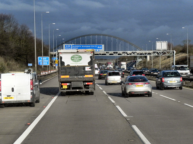
Northbound M42 near Blythe Valley Park
The M42 motorway is 55 miles long. The motorway runs north east from the M5 near Bromsgrove to the A42 near Ashby-de-la-Zouch, passing Redditch, Solihull, the National Exhibition Centre (NEC) and Tamworth on the way. It was started in 1976 and completed in 1989. It joins the M5, M6, M6 (Toll) and M40 together and bypasses Birmingham.
Wikipedia: Link
See other images of M42 Motorway
Wikipedia: Link
See other images of M42 Motorway
 Map © Crown Copyright")
TIP: Click the map for more Large scale mapping
- Grid Square
- SP1475, 53 images (more nearby 🔍)
- Photographer
- David Dixon (more nearby)
- Date Taken
- Friday, 21 December, 2012 (more nearby)
- Submitted
- Saturday, 19 January, 2013
- Subject Location
-
OSGB36:
 SP 1442 7527 [10m precision]
WGS84: 52:22.5171N 1:47.3763W - Camera Location
-
OSGB36: SP 1438 7518
- View Direction
- North-northeast (about 22 degrees)