TQ8596 : Birds cross the winter sun
taken 11 years ago, near to South Fambridge, Essex, England
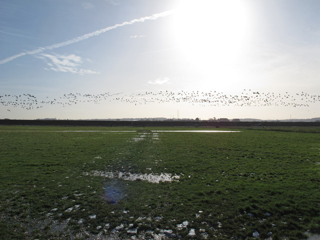
Managed by Essex Wildlife Trust since 1998 this 600 acre farm is situated on the north bank of the River Crouch.
The Flat Fields have been grassland for the last 100 years, the remainder of the farm comprises of coastal grazing marsh with ancient creeks and hollows betraying its salt marsh origins.
The above adapted from Essex Wildlife Trust Link
See also RSPB: Link
The Dengie (pronounced with a soft G) Peninsula is an area of South Essex, bounded by the River Blackwater to the north, the River Crouch to the south and the North Sea to the east. The western Boundary of the old "Dengie Hundred" ran from (and included) North Fambridge to Woodham Walter: The nearby town of Maldon was not part of the Dengie Hundred as it was a borough in its own right. See Link
The area has a relatively low population density, with large areas of farm and marsh land. The largest towns are Burnham on Crouch with a population of c. 7,500 and Southminster with a population of c. 3,800.
Useful links:
Dengie 100 Link
Essex-family-history Link
wikipedia Link
 Map © Crown Copyright")
- Grid Square
- TQ8596, 85 images (more nearby 🔍)
- Photographer
- Roger Jones (more nearby)
- Date Taken
- Saturday, 26 January, 2013 (more nearby)
- Submitted
- Saturday, 26 January, 2013
- Subject Location
-
OSGB36:
 TQ 856 965 [100m precision]
WGS84: 51:38.2325N 0:40.8662E - Camera Location
-
OSGB36: TQ 856 967
- View Direction
- South-southwest (about 202 degrees)