2010
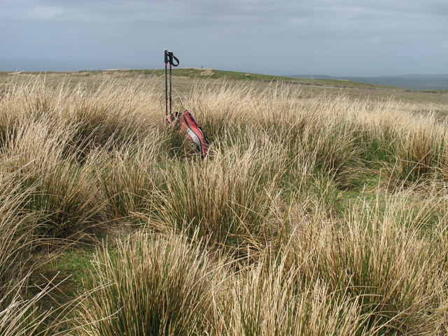
NX2197 : Saugh Hill
taken 14 years ago, near to Penkill, South Ayrshire, Scotland
Saugh Hill
Anti-clockwise route after parking at south end of Girvan, over Troweir Hill and on to Yeaman twin-top at Saugh Hill and then onto the trig point you can see in the distance.
Name: Saugh Hill
Hill number: 5636
Height: 296m / 971ft
Area: 27B: Carrick and Galloway
Class: Ma=,Hu=
Grid ref: NX 21237 97130
Summit feature: grassy knoll
Drop: 34m
Col: 262m NX211966
Alternative top: (Troweir Hill)
Name: Saugh Hill
Hill number: 5636
Height: 296m / 971ft
Area: 27B: Carrick and Galloway
Class: Ma=,Hu=
Grid ref: NX 21237 97130
Summit feature: grassy knoll
Drop: 34m
Col: 262m NX211966
Alternative top: (Troweir Hill)
 Map © Crown Copyright")
TIP: Click the map for more Large scale mapping
- Grid Square
- NX2197, 15 images (more nearby 🔍)
- Photographer
- Rude Health (more nearby)
- Date Taken
- Saturday, 15 May, 2010 (more nearby)
- Submitted
- Sunday, 3 February, 2013
- Subject Location
-
OSGB36:
 NX 2123 9713 [10m precision]
WGS84: 55:14.1537N 4:48.7816W - Camera Location
-
OSGB36: NX 2123 9711
- View Direction
- NORTH (about 0 degrees)